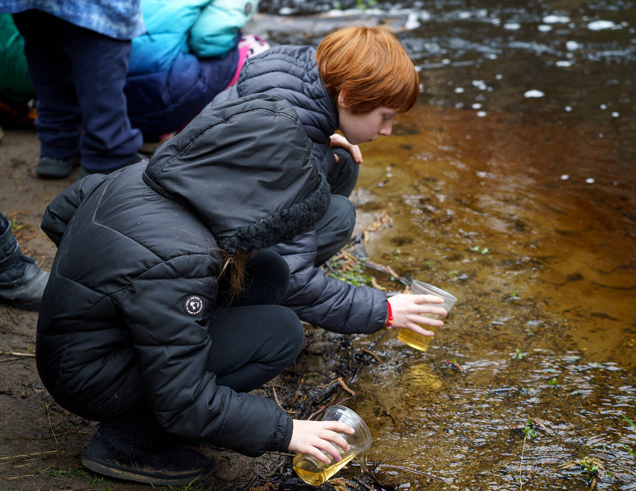
When Island County Natural Resources measured Whidbey’s surface water quality, they found that half of the island’s streams that were surveyed are polluted or are otherwise in poor health.
The surface water quality program monitors both trends and seasonal patterns, Water Quality Specialist Sage Ince told county commissioners at a recent workshop meeting. In Whidbey’s streams, they tested temperature, PH, conductivity, dissolved oxygen, turbidity, E. coli bacteria and stream flow.
What determines if the water quality is “good” or bad,” as set by state standard, is three-prong: temperatures below 17.5 degrees Celsius, dissolved oxygen above 8 milligrams per liter and E. coli bacteria under 100 colony forming units per 100 milliliters.
These standards are set at the levels which hinder juvenile salmon, said Water Quality Specialist Carlie Miller, which migrate and spawn through Whidbey shores.
The watersheds are small for most of Whidbey’s streams, Miller said, but they still play critical roles. Most streams host forage fish, salmon habitat and shellfish harvesting. Monitoring these streams is essential for both public health and aquatic wildlife.
Sites marked “good” mean they tested well in all criteria, she said. South Whidbey State Park, Freeland Park, East Freeland Park and Glendale Creek passed the test.
Quade Creek received a “moderate” rank, meeting half the criteria.
“Poor” means they failed all criteria, which were Crescent Creek, Ebeys Landing, Cultus Creek, Scatchet Creek and Maxwelton Creek.
The data are “pretty horrifying,” Commissioner Melanie Bacon said at the March 13 Island County work session. “This is saying we have as many bad as we have good, and so it seems to me this is something we should be addressing in our comp plan.”
Clean streams arguably matter more in Island County than elsewhere, Ince said. Natural Resources surveys showed that compared to 12 other counties across Puget Sound, Island County residents have a greater sense of connection to the shorelines.
According to the survey, Whidbey Islanders value shorelines with a strong sense of place. Public parks are the most meaningful shorelines, and changes in shorelines are perceived as negative. Residents visit shorelines for psychological wellbeing, health and relaxation among other reasons.
From 2018-2023, data fluctuates above and below the state standard. Data for 2023 is comparably poor, enough to start the source identification process, Ince said, where they go up the stream until they pinpoint the source of the pollution.
The county also recently received a Pollution Identification and Correction grant, which goes beyond source identification and into mitigation with the intent of opening shellfish harvesting areas.
Island County Natural Resources’ full data can be found online at islandcountywa.gov/693/Surface-Water-Quality. Remediation specifics will be presented in the natural resources section of the comp plan, which hasn’t been fleshed out yet.
Jen Schmitz, natural resources manager, did not respond to requests for comment.


